This post was originally posted on a former blog of mine in July 2019.
A few weeks ago Josh ended up in urgent care, after a fall on his bike. We left with 13 stitches, wondering how sitting was going to be possible, and instructions from the doctor that said no biking for 10 days. But she did say that hiking would be okay. So we took to the trails for our first hike together.
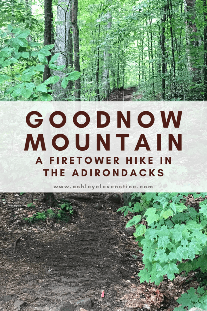
If you know me – at all – you know I’m pretty obsessed with hiking. I have all the books, all the maps and I’ve begun all the challenges in New York State. Goodnow, happens to be on the Firetower Challenge, so we thought it would be a fun hike to do together.
July 6, 2019
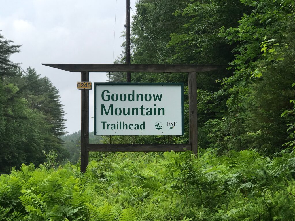
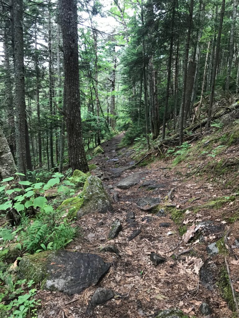
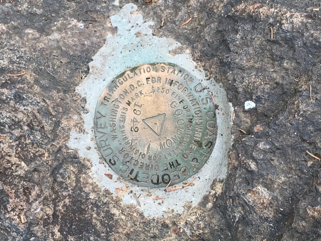
The day started pretty well, although clouds were looming so we weren’t sure if we’d get caught in rain or not. Goodnow is part of the Huntington Wildlife Forest which is owned by NSF (the College of Environmental Science and Forestry at Syracuse University). The trail is super well maintained, and there is a 60’ fire tower located on the summit. The trail measures just over 4.5 miles (round trip) and there are several locations on the trek up with benches for sitting and resting.
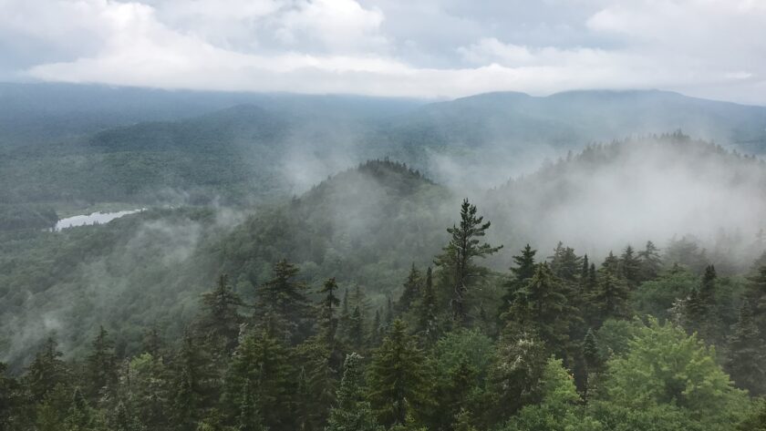
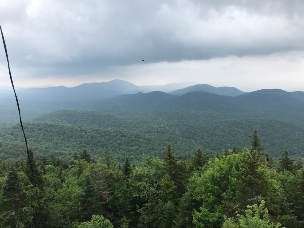
We arrived at the summit, just in time to catch the storm clouds rolling in for a quick summer storm. Josh quickly climbed the fire tower (I only made it about a quarter of the way up, before the storm winds got to me) and watched for a bit as the storm moved closer. Soon we were the only people left on the summit, and the rain, lightning, and thunder was over us. We took cover on the porch of a small cabin just below the summit and waited for the storm to pass.
After the storm passed, we both climbed the tower to watch the storm drift away and see the clouds and fog pass through. It was a pretty beautiful site, and I was so glad Josh talked me into attempting the climb again. We were at the top of the fire tower for a good amount of time, before deciding we should make the trek back down.
Part way down it started sprinkling again, and then rained consistently for most of the way back to the parking lot. We signed the trail register and headed to the Tacoma for some lunch (and to take off the hiking boots!).
Trip Stats:
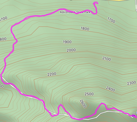
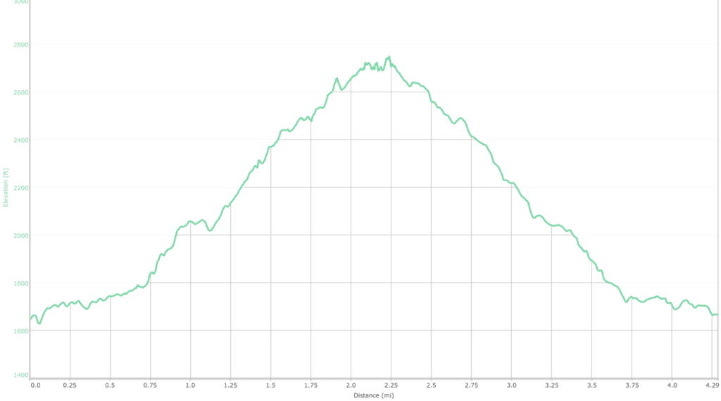
- Total Distance: 4.3 miles
- Ascent: 1560 ft.
- Descent: 1533 ft.
- Total Time (including stops): 3 hours, 6 minutes
- View Rating: 8