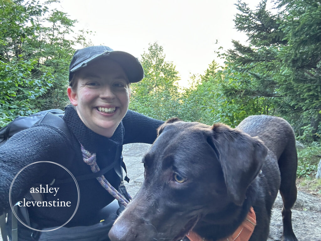
Today we had big plans to complete several hikes in the Indian Lake area. Since I’m getting close to completing the 4-3-2-1 Way Challenge, and Darby had already completed some of the hikes with me, I decided to focus on a few of the remaining trails so she could potentially become a completer as well. An easy way to make progress toward that goal was to tackle one of the moderate hikes along with a few of the easier ones.
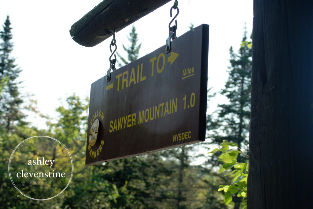
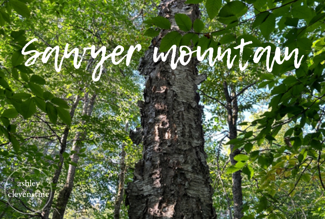
We left home early, around 5:30 a.m., as Josh was heading off to work, and set our sights on the “hardest” hike of the day first: Sawyer Mountain.
Hike Report
9/1/2023
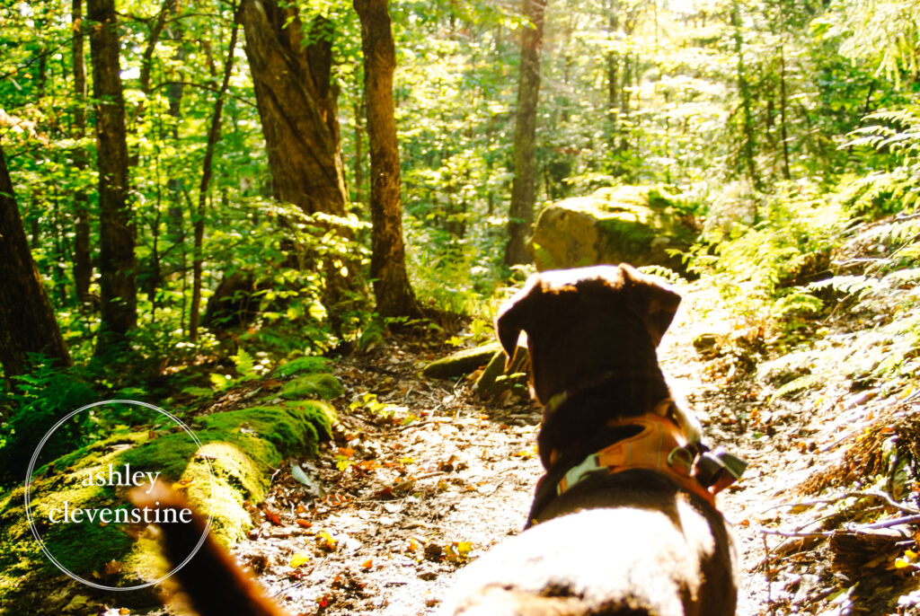
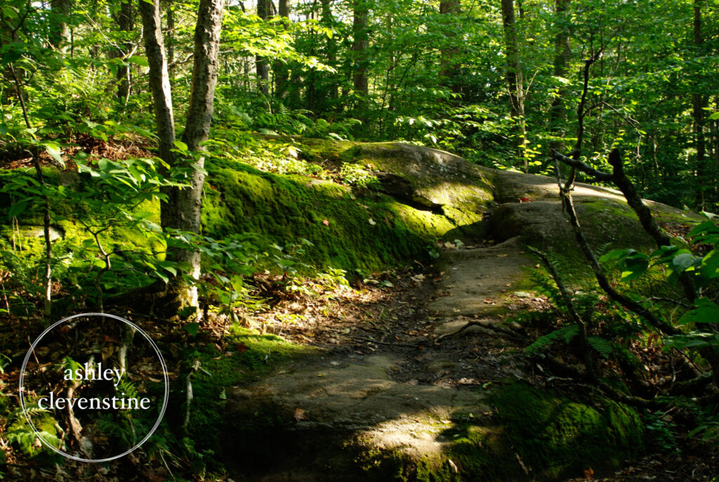
This was a very pleasant hike and well worth the effort. It’s rated as moderate, which I think is fair. The trail offered some incredibly beautiful scenery, from the early-morning sunlight filtering through the trees and making Darby’s brown fur glow to the rocky, root-covered sections that gave the hike character. Everywhere I looked, there was something worth admiring.
As we passed one particularly rocky section, I couldn’t help but laugh, knowing Josh would have looked at it and said, “That would be fun to ride.” The woods were absolutely stunning that morning.
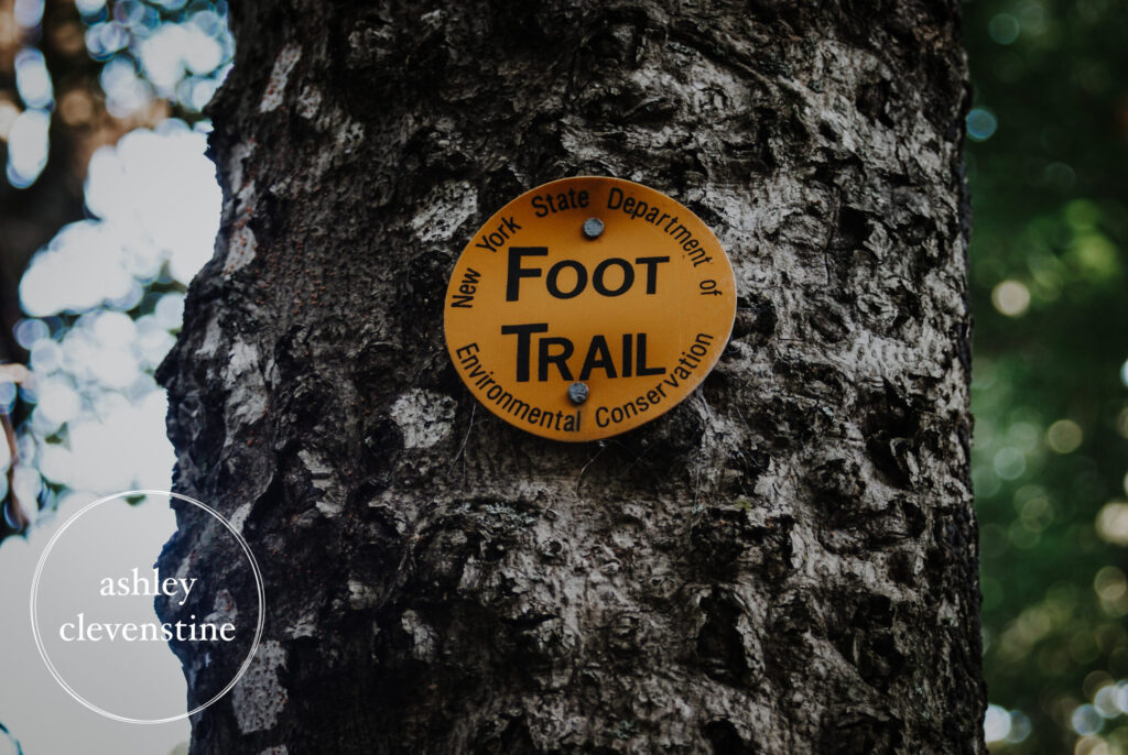
At the trail register, we were warned about ground bees along the trail, but the notice also mentioned that hikers had blocked off the affected area with downed branches and created a short detour around it. I was grateful for the warning and relieved when we reached the area and found no sign of any bees.
The trail reaches the summit first, and then continues a short distance farther to the overlook. For a relatively short hike, the view was surprisingly impressive. We didn’t spend too much time at the top since we had several more hikes planned for the day, but we took a few photos, enjoyed the scenery, and then started back down.
According to the guidebook, the overlook offers views of several nearby peaks, including Snowy Mountain and Blue Mountain. I assume they’re somewhere in the photos I took, although I’m not entirely sure which mountains are which. The guidebook also mentions views of several ponds, including Sprague Pond, which we would visit later that day. However, because it was still early morning, low clouds hung over the valleys, obscuring much of the water below.
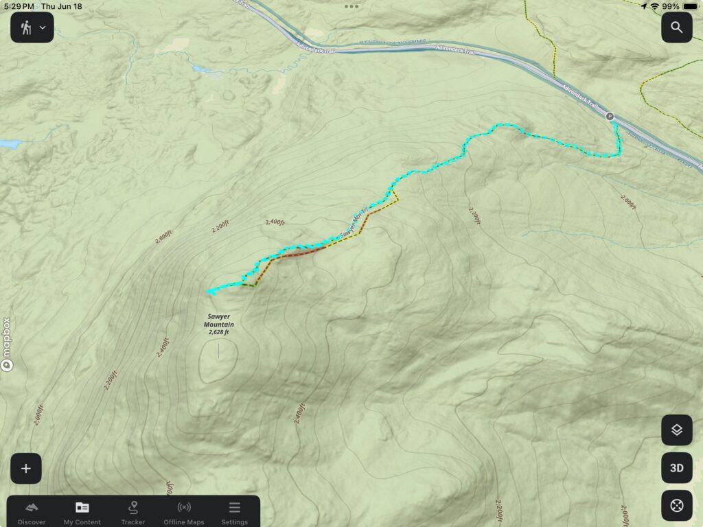
Trip Stats
- Distance: 2.4 miles
- Total Time: 1.5 hours
- Elevation Gain/Loss: +660 ft. / -663 ft.
- Summit Elevation: 2,589 ft.
- Weather: Mostly sunny, crisp, and cool
- GPS Tracking: Gaia GPS (map image below from OnX Backcountry)
Rating: 6/10
While this was an enjoyable hike with a rewarding view, it wasn’t my favorite of the day. Still, it’s a worthwhile trail for anyone looking for a shorter climb with a scenic payoff.
Happy Hiking!