
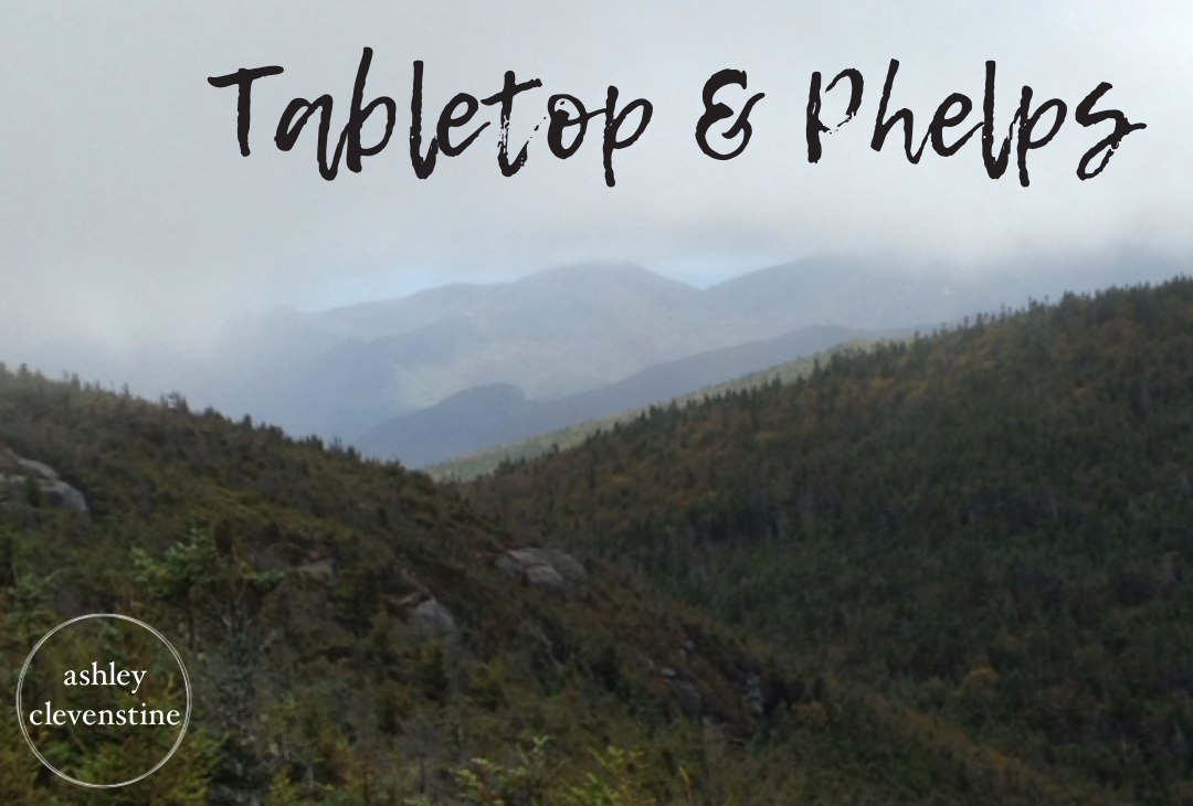
Our day started early. We were up at 5:00 a.m. and on the road by 5:45 for the two-plus-hour drive north. The plan for the day was to summit both Tabletop and Phelps in celebration of my 26th birthday.
Trip Report
9/22/2014
The trailhead is located at the Adirondack Loj. We were a little confused at first about which trail to take, but a quick stop at the visitor center pointed us in the right direction. Bundled up and ready for the cold, Brittney and I set off for the day’s adventure.
We arrived at the trailhead around 8:00 a.m. and signed in at the Van Hoevenberg Trail register. It was chilly enough for jackets, fleece layers, hats, and gloves. The first section of the trail is one of my favorites in the Adirondacks. The path is exceptionally well maintained, and before long we were crossing the wooden walkways that lead toward Marcy Brook.
The approximately 2.1-mile hike to Marcy Dam is relatively flat and easy, making it a great warm-up. The leaves were just beginning to change, adding splashes of color throughout the forest. Along the way, we met a trail volunteer carrying a rather impressive axe. We stopped to chat and told him about our plans to hike Tabletop. His response was a sarcastic, “You picked a good day for that.” We would soon discover exactly what he meant.
Several bridges crossed Marcy Brook, some of them recently rebuilt after damage caused by Hurricane Irene. We kept a steady pace and arrived at Marcy Dam around 9:00 a.m.
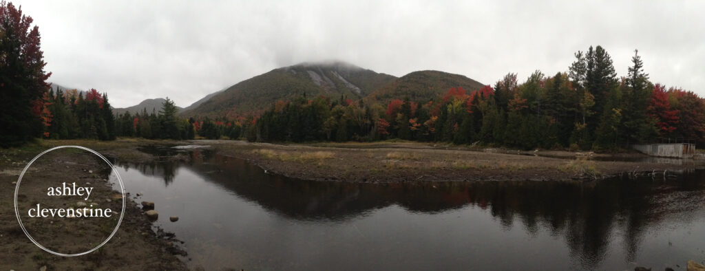
On a clear day, the view from Marcy Dam is spectacular. Unfortunately, that wasn’t in the cards for us. A rainy mist had settled in, obscuring much of the surrounding scenery. Even so, the fall colors were beginning to emerge, and the landscape was still beautiful. I’ve spent plenty of time trying to identify the mountains visible from the dam. I’m about 99% certain that the mountain in the center is Mount Colden, but I’m less confident about the others.
Shortly after leaving Marcy Dam, we passed the junction leading toward Phelps. We decided to continue past it and tackle Tabletop first.
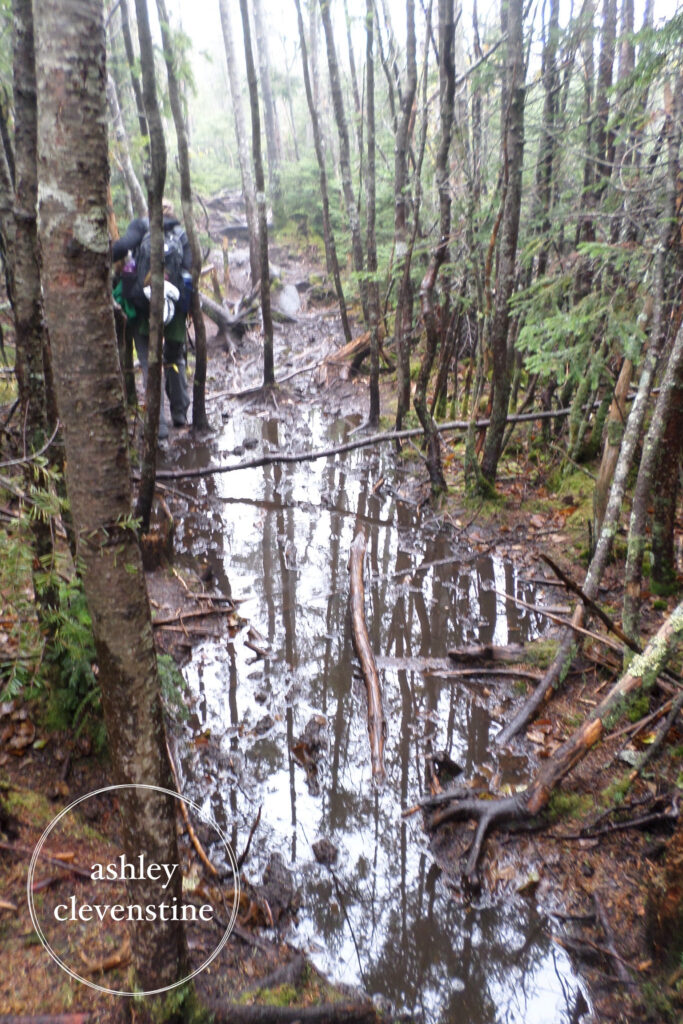
The trail to Tabletop is an unmarked and unmaintained herd path. This would be only our second experience on a trail like this, with Esther being our first, so we expected it to be more challenging. It’s somewhat unusual to see a sign marking the start of a herd path, but we were thankful for it. We reached the cairn marking the route to Tabletop at approximately 10:41 a.m.
The climb that followed was unforgettable.
Because of the rain, the trail had essentially become a stream. The volunteer’s warning suddenly made perfect sense. In several places we had to navigate around—or directly through—small ponds that had formed on the trail. We jokingly started referring to them as the “Ponds of Tabletop.”
We reached the summit of Tabletop around 11:59 a.m. The view was practically nonexistent. It was cold, wet, and completely clouded in. We found shelter beneath some trees, enjoyed a quick snack, and then started back down toward the Phelps trail.
When we arrived at the junction for Phelps, we remembered reading that the one-mile climb is often called the “longest mile” among the 46 High Peaks. We were curious to see whether it deserved that reputation or if Marble Mountain would continue to hold the title in our minds. My GPS actually measured the climb at closer to 1.25 miles.
The summit of Phelps brought a few pleasant surprises. The clouds began to break apart, offering occasional glimpses of the surrounding mountains. We also met a furry little visitor, although he didn’t stay long enough for a photo.
We reached the summit of Phelps around 2:30 p.m. By that point we were thoroughly wet and muddy, but happy. We spent some time relaxing, enjoying what views we could, and having lunch and snacks before beginning our descent.
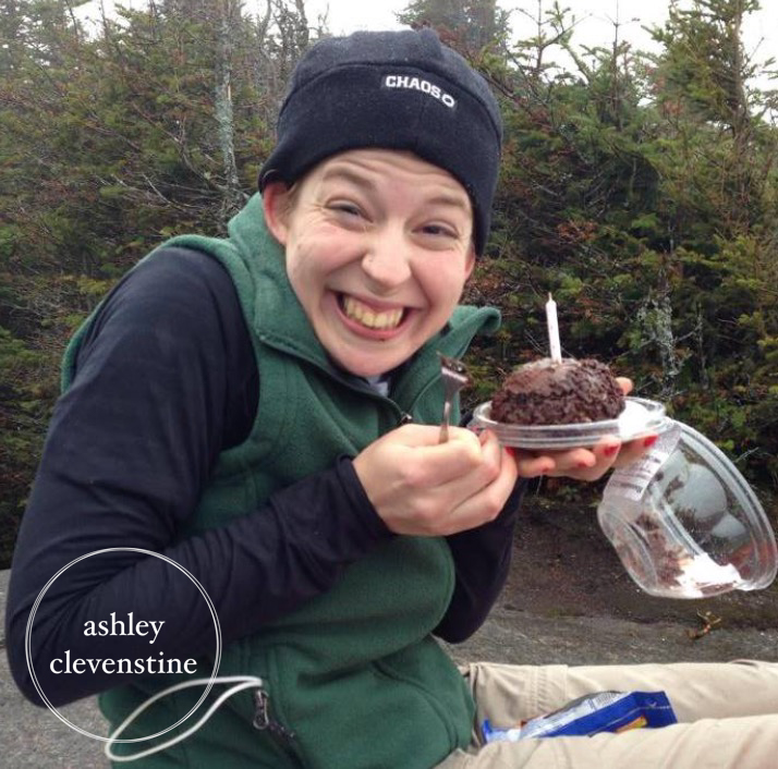
For this hike, I used my Vaude Wizard 18+4 backpack. The extra storage space came in handy for carrying rain gear and additional layers, and the built-in rain cover proved useful when a light mist returned near the summit. Brittney also surprised me with a mini chocolate dome cake and a candle to celebrate my birthday. Don’t worry, DEC—we didn’t light the candle.
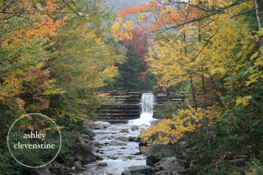
I think my favorite part of any hike is the trip back down. The hard work is behind you, and you can finally relax and appreciate everything you’ve accomplished. As we descended, we gradually warmed up and the clouds continued to break apart. We never saw a bright blue sky, but we were treated to beautiful fall colors throughout the forest.
We passed through Marcy Dam once more, stopped for a few final photos, crossed Marcy Brook again, and eventually returned to the Van Hoevenberg Trailhead. After signing out, we noticed that I wasn’t the only one who had celebrated a birthday on the summit of Phelps that day.
Here’s hoping Jake had a great birthday too.
Trip Stats
- Distance: 12.6 miles
- Total Time: 9 hours
- Elevation Gain/Loss: +3,773 ft/-3,781ft
- Weather: rainy and cloudy
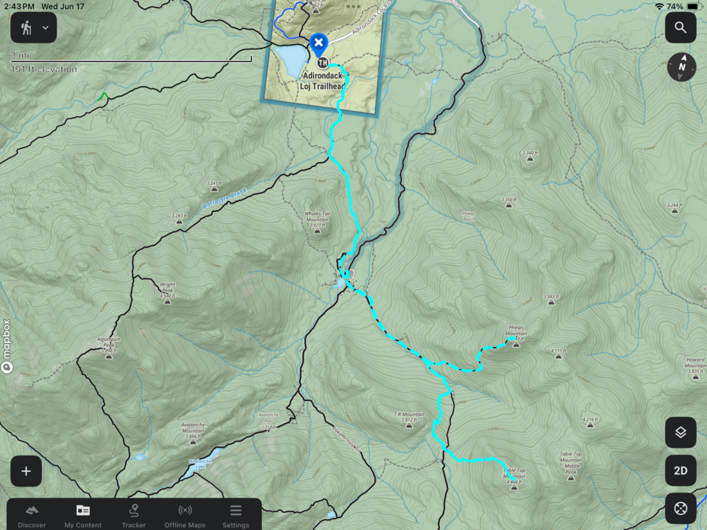
- GPS System: Garmin Etrex 10 (image below is from import to onXBackcountry)
Rating
7/10
While it was rainy, wet, and somewhat cold, you can’t beat spending your birthday in the woods with friends in the Adirondacks.